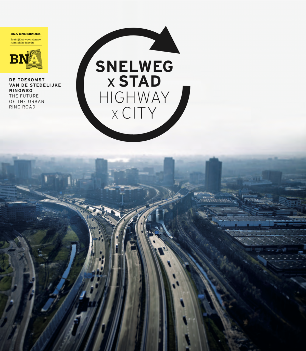
Highway x City
Urban strategy reconnecting city districts severed by motorway infrastructure
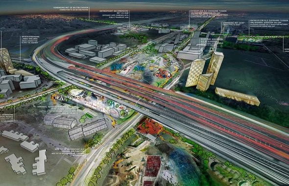
Highway x City is a design study published by BNA investigating how electric and autonomous vehicles will reshape the spatial relationship between cities and highways. In 2017, Except contributed to the Utrecht A27/A28 Science Park team, helping conceptualize a new model for connectivity between city and highway infrastructure. The study proposes that highways, historically treated as barriers, can become connective tissue for urban dynamism and diversity.
The Problem
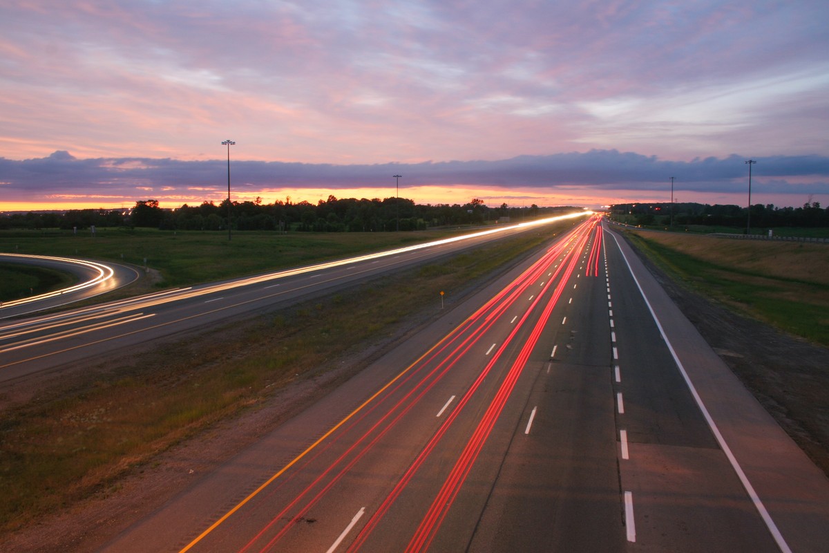
Traditional highway infrastructure bifurcates cities and communities, prioritizing vehicle throughput over urban connectivity. As electric and self-driving vehicles shift the spatial requirements of road infrastructure, the opportunity to reconsider this relationship becomes available. The Utrecht A27/A28 corridor presented a specific site where decades of car-centric planning had created hard edges between the city and its surrounding areas. The question was whether a transition in vehicle technology could unlock a transition in urban form.Process
Spatial consequence mapping
The BNA study examined the spatial consequences of replacing conventional vehicles with electric and autonomous alternatives, mapping which road widths, intersections, and buffer zones would become redundant and what urban forms they could support.Utrecht A27/A28 Science Park contribution
Except worked with Benthem Crouwel Architects, Edwards Stadsontwerp, and BonoTraffics to develop a concept for the Utrecht ring road corridor, focusing on connectivity, dynamism, and diversity as organizing principles.Outcomes
- Published
- 2017
- By BNA, Dutch Society of Architects
- Corridor
- Utrecht A27/A28
- Concept developed with 3 partner firms
Gallery